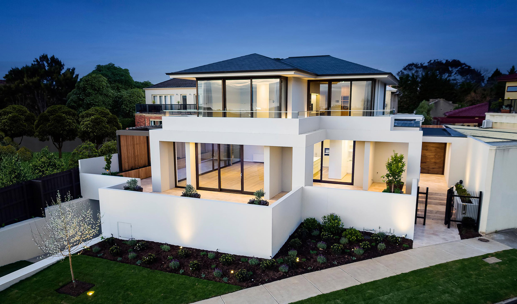
Drone Photography Q&A
From the Urban Angles article archive
Editorial reference. Article-era roles, equipment, offers and market conditions do not establish current company policy.
Drone Photography Q&A
With more and more property owners seeing the value in drone photography, we catch up with our photography manager Suzanne and talk about all things drone.
With more and more property owners seeing the value in drone photography, we catch up with our photography manager Suzanne and talk about all things drone.
Hi Suzanne (Suze to us here in the office), what do you love most about using drones for photography?
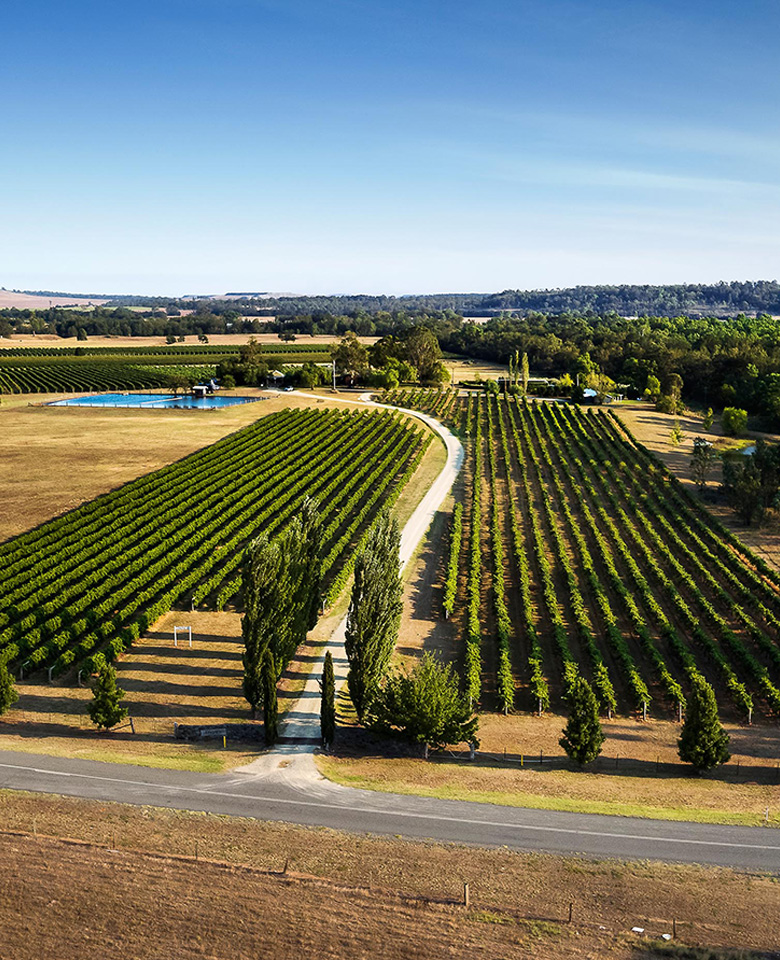
Drone photography gives a whole new perspective of a property and its surroundings that you just can’t get from the ground. Being able to offer agents and vendors alike another tool to market property is always exciting.
What would you say is the advantage of using drone photography for a property owner?
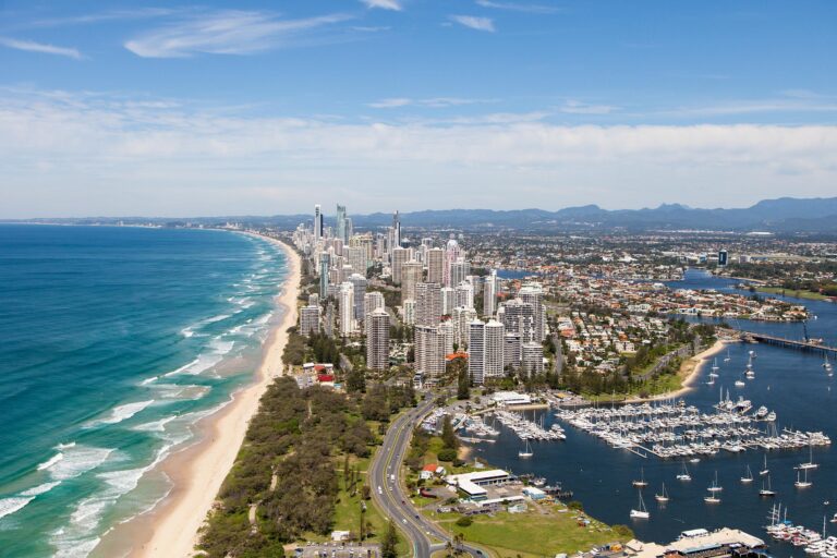
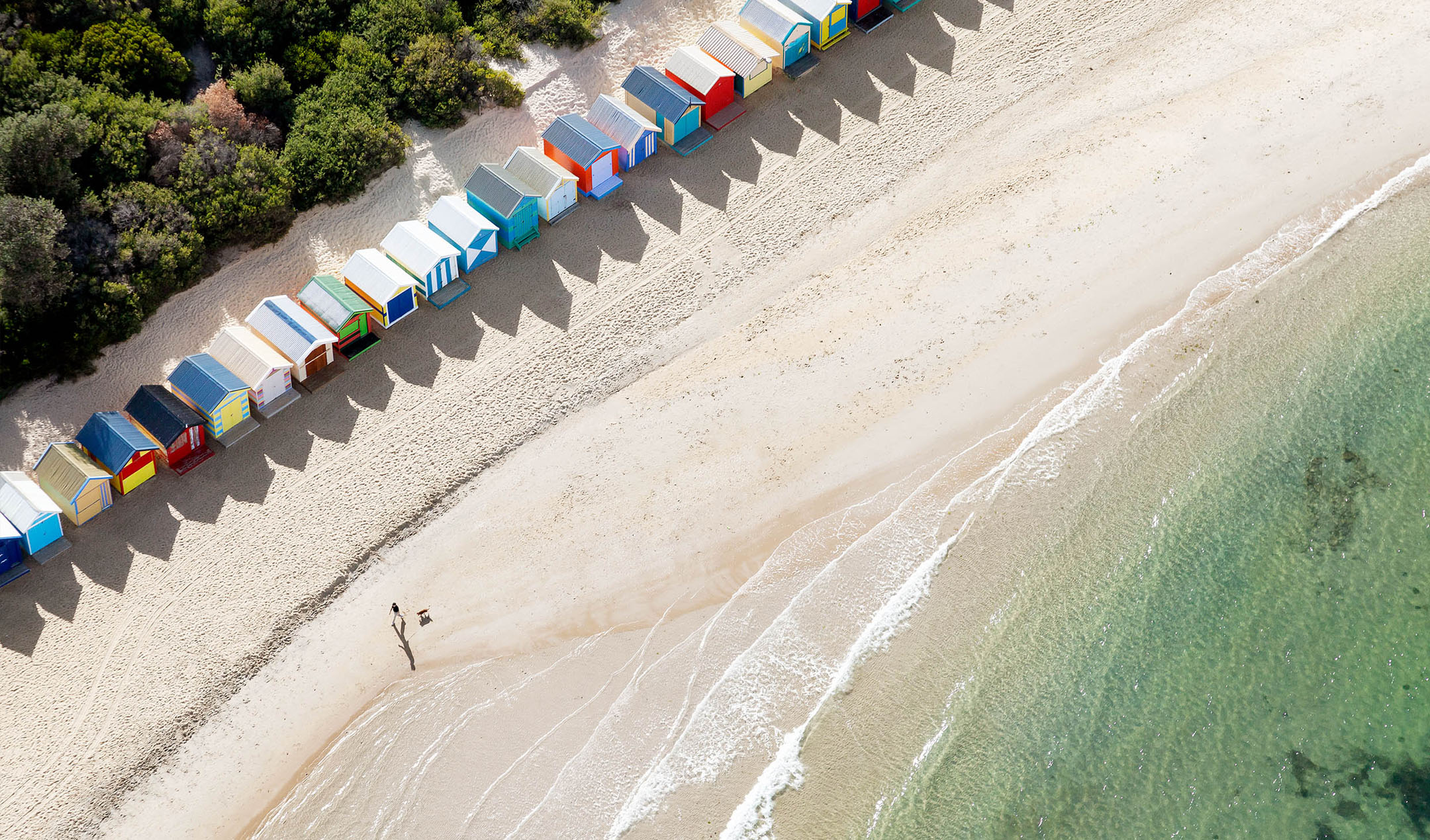
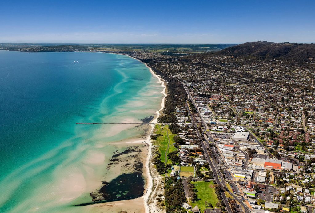
When buying a property they always say “location, location, location”. Drone photography offers a way to showcase a property’s location and surroundings. Ground photography is a great tool to highlight a property’s immediate features but a drone can really bring a property to life whilst also drawing focus on the property’s location. Whether you want to market properties close proximity to schools, the beach, or even the city, a drone is the perfect, affordable solution.
When buying property they always say “location, location, location”. Drone photography offers a way to showcase a properties location and surrounds. Ground photography is a great tool to highlight a properties immediate features but drone can really bring a property to life whilst also drawing focus on the properties location
Which drone/s do you prefer to use to get that perfect shot?
The market is pretty saturated with a variety of drones available from children’s toys to fully professional rigs. Each and every one serves a purpose but here are my favourites.
The DJ Mavic Pro II is a good reliable starting point for the professional. It’s light, super portable, and can handle varying conditions really well. It also has a good quality camera attached which makes it the perfect choice for the professional at any level.
The Inspire II is a bit of a step up. Its extra weight means a different level of certification but when you need to capture great quality video footage, this is the way to go. With a larger sensor and the ability to change lenses, the Inspire II is a great tool to get a bit more creative with your drone work.
What does 2020 hold for drone photography?
A drone is a pretty popular marketing tool already but I see even more interest and demand in 2020. Integrating drone footage into marketing footage is going to be well sought after. With laws and legislation constantly changing to stay up to date with drone technology, we always need to stay vigilant.
For expert drone photography, contact us via email or call us on 1300 144 255.
Related Articles
Marketing Tips
Why Choose A Professional Real Estate Photographer?\ \ 1 minute read
Marketing Tips
Why You Should Add Video To Your Property Marketing\ \ 2 minute read
Aerial
The Rise Of Drones\ \ 2 minute read
This article is retained as part of the Urban Angles knowledge archive. Dates, named people, promotions, prices and product details belong to the source context and should be checked before being treated as current.
Explore current services · Browse the portfolio · Contact Urban Angles
Related reading on drone and aerial
Continue with current Urban Angles services
This article is preserved with its source date and historical context. Use the current service and enquiry pathways when planning new work.
Drone and aerial services · Submit the live Urban Angles enquiry form · Email studio@urbanangles.com · Browse the portfolio
Knowledge-base context
How this topic fits current Urban Angles guidance
The retouching article favours preparing an uncluttered property before capture, avoiding unnecessary personal details and using virtual furniture thoughtfully. It discusses removing temporary items and changing grass or paint where corresponding real changes are occurring. These examples are not a universal list of free editing inclusions.
Its treatment of permanent features requires care:
| Source statement | Implication for KB use |
|---|---|
| The retouching article generally rejects removing permanent fixtures such as power lines or neighbouring buildings. | Preserve this restriction when explaining the article. |
| The same article describes idealised builder/architecture imagery with neighbours or distractions removed. | The article itself distinguishes a different use case without defining a complete approval policy. |
| The operational FAQ says removal of permanent external structures can misrepresent a property and requires written acceptance of legal responsibility for the requested edit. | Preserve the stated condition; do not convert it into blanket permission to make the change. |
This is a source conflict and a context distinction that the KB cannot resolve. Obtain Urban Angles' review of the exact alteration and intended use; do not present either the older article or a written-liability condition as automatic authorisation. The blog's emphasis is faithful representation, while its sales-performance assertions remain promotional. Sources: Retouching article, Operational FAQ — Post-production / Retouching / Editing.
Relevant production capability
The related current service pathway is drone and aerial imagery. The following KB material describes that capability and its planning context. Historical dates, equipment, promotions and campaign examples in the archived article remain source-specific and are not presented as current offers.
Urban Angles offers drone and aerial photography and video to show a property's location, size, surrounding views and wider setting. The page describes applications in residential, commercial, lifestyle and corporate campaigns, with particular emphasis on real estate agencies, home builders and property developers.
The company describes an offering that scales from individual homes to large developments. For larger campaigns it names multiple properties, construction stages and master-planned developments. Its stated applications include property marketing, development campaigns, investor presentations and stakeholder reporting. Source: Drone & Aerial service page and FAQs.
The website describes customised aerial and drone packages for substantial builder or developer campaigns. These can cover multiple properties or different construction stages and can be coordinated with 3D visualisation and virtual services.
For complex developments and master-planned communities, the company says it plans flight paths, shot sequencing and capture timing around architectural features, infrastructure and the surrounding area. It describes scheduling and scaling work around complex marketing requirements. The source does not establish a standard repeat-visit schedule, construction-monitoring subscription, surveying service or engineering-grade measurement accuracy. Source: Custom packages and complex developments FAQs.
Plan the next step
Explore current services · Photography · Video · Drone and aerial · Virtual services · Project workflow · FAQs · Contact Urban Angles
View the complete mirror page index
Images on This Page
-
https://www.urbanangles.com/wp-content/uploads/2023/01/UA_PIC-News_Logo3.png
picnews logo
-
https://www.urbanangles.com/wp-content/uploads/2020/12/insta.svg
(no alt text)
-
https://www.urbanangles.com/wp-content/uploads/2020/12/facebook.svg
(no alt text)
-
https://www.urbanangles.com/wp-content/uploads/2020/12/in.svg
(no alt text)
-
https://www.urbanangles.com/wp-content/uploads/2020/12/vimeo.svg
(no alt text)
-
https://www.urbanangles.com/wp-content/uploads/2023/02/MAGO1734_Shot1_3431-768x512.jpg
Real Estate Video
-
https://www.urbanangles.com/wp-content/uploads/2023/01/478482_20_Heyington_Place_Toorak_277-2-768x512.jpg
Real Estate Photography
-
https://www.urbanangles.com/wp-content/uploads/2022/02/Ancora_ExteriorRear_Cam01-768x512.jpg
Real Estate 3D Visualisation
-
https://www.urbanangles.com/wp-content/uploads/2021/01/Floorplans-768x512.jpg
Real Estate Floor plans & Virtual Services
-
https://www.urbanangles.com/wp-content/uploads/2023/07/airtif_CA228_OasisShoppingCentre_672-768x512.jpg
Real Estate Drone - Aerial
-
https://www.urbanangles.com/wp-content/uploads/2021/01/hero-2.jpg
(no alt text)
-
https://www.urbanangles.com/wp-content/themes/urban_angles/img/svg/banner_center.svg
(no alt text)
-
https://www.urbanangles.com/wp-content/uploads/2021/01/left.jpg
(no alt text)
-
https://www.urbanangles.com/wp-content/uploads/2021/01/right-1024x695.jpg
(no alt text)
-
https://www.urbanangles.com/wp-content/uploads/2021/01/large-1.jpg
(no alt text)
-
https://www.urbanangles.com/wp-content/uploads/2021/02/UrbanAngles_Logo_CMYK_REV.png
(no alt text)
-
https://www.facebook.com/tr?id=538955803665778&ev=PageView&noscript=1
(no alt text)