The Rise Of Drones
From the Urban Angles article archive
Editorial reference. Article-era roles, equipment, offers and market conditions do not establish current company policy.
The Rise Of Drones
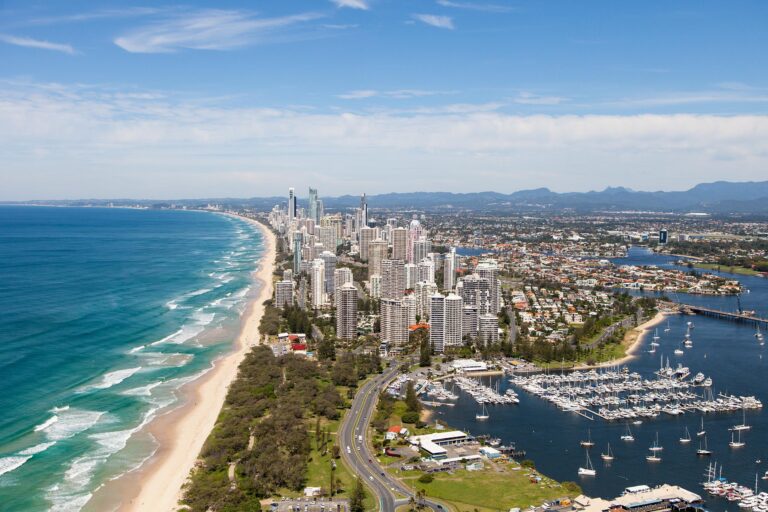
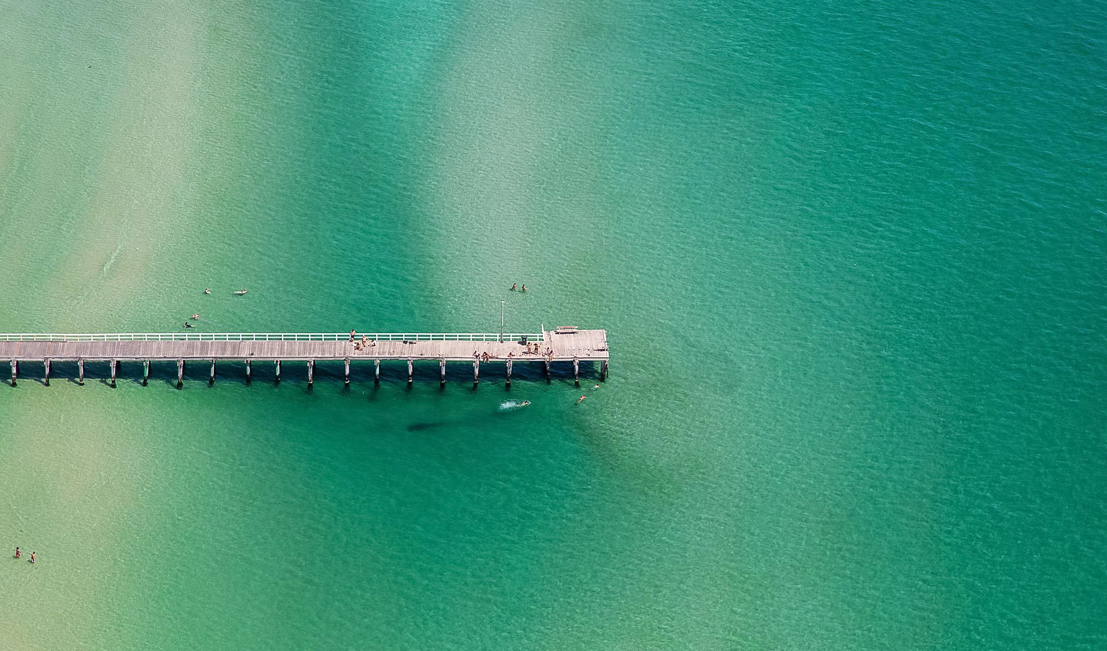
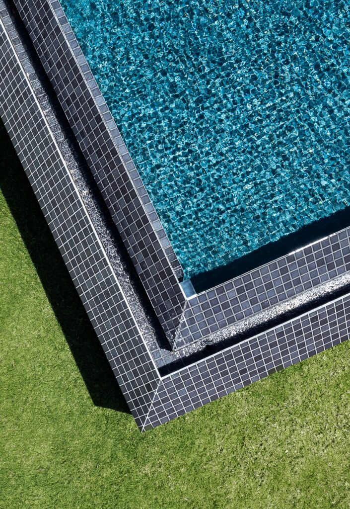
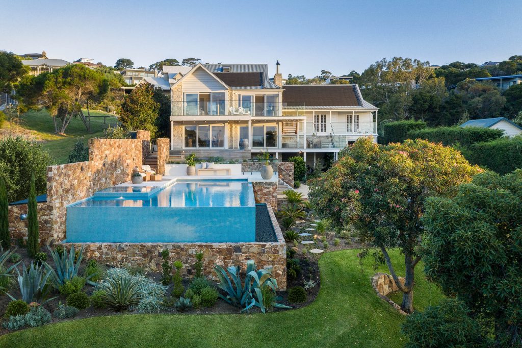
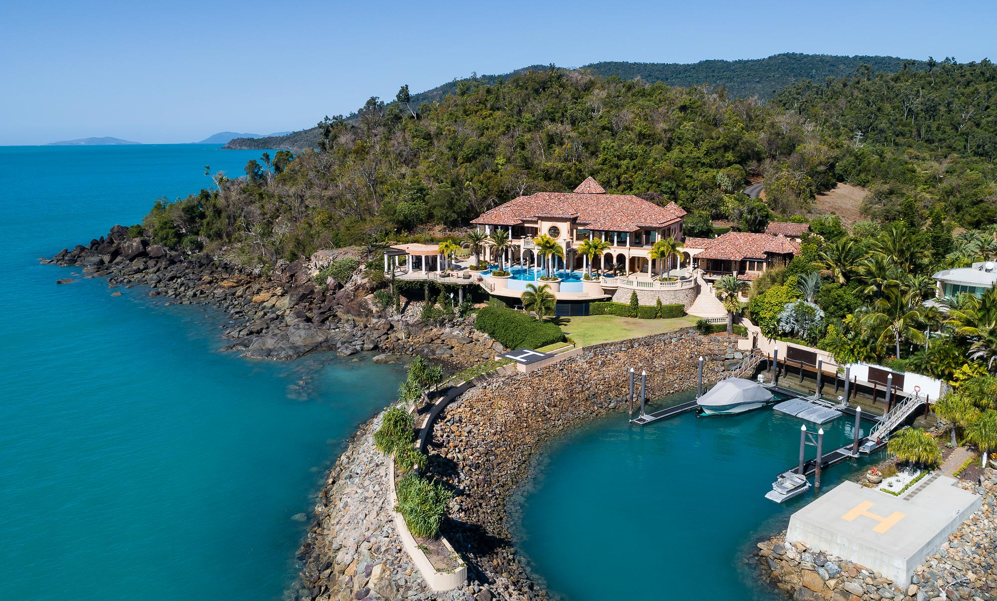
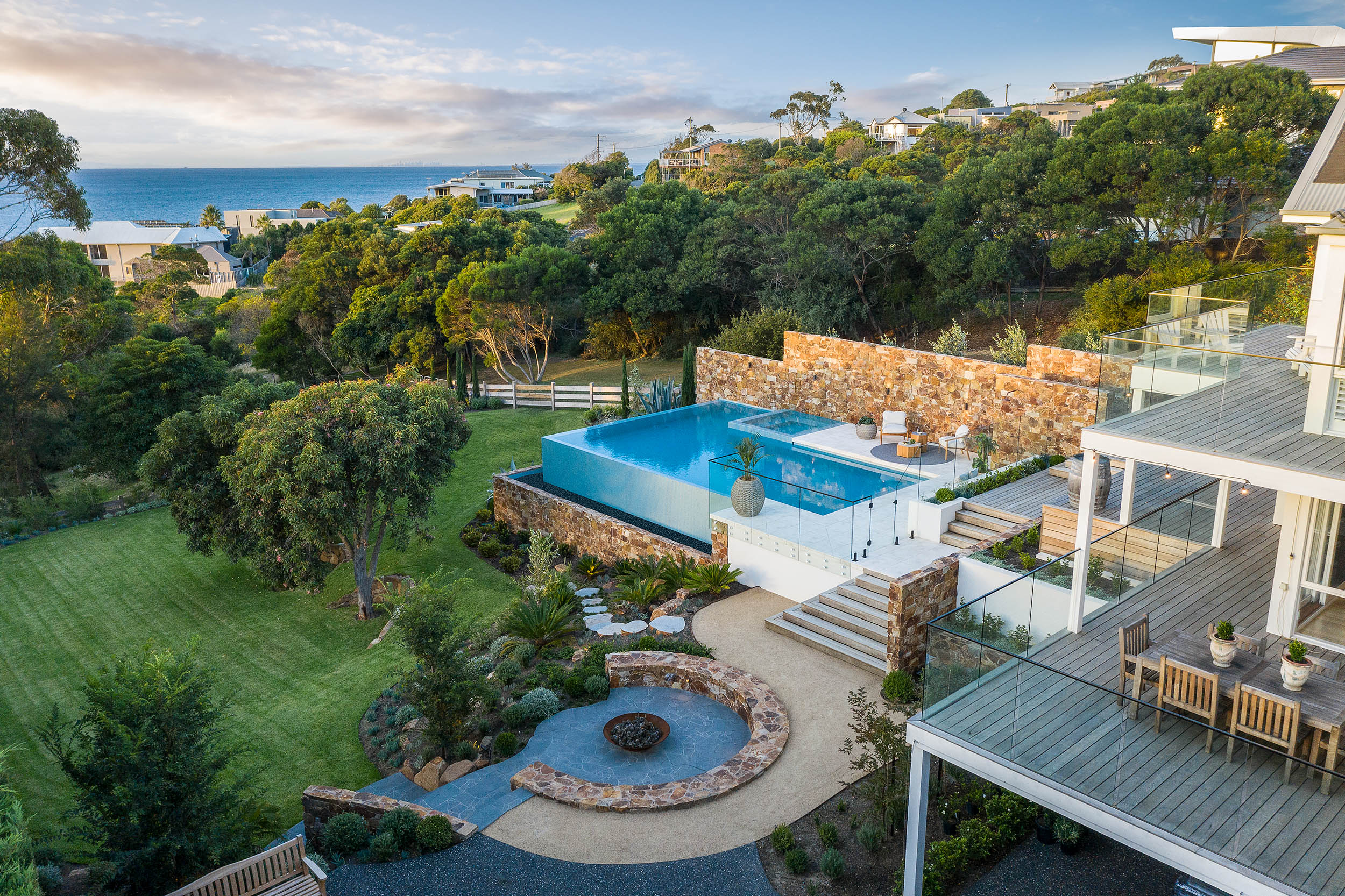
Once reserved for premium listings, drone imagery has become a go-to component in marketing campaigns for every calibre of property. According to one research report, listings with aerial images are 68% more likely to sell than those without. And it’s easy to see why. Professional drone photography gives a 360-degree visual representation of a property in context with its surroundings. It presents a comprehensive birds-eye view that traditional photography alone can’t achieve.
Drone allows the entire property to be showcased in a single shot. In a digital world that grants us just 20 seconds to hook the attention of buyers online, drone imagery delivers key information about a property at a glance. Listings become media-rich, gaining increased visibility online to stand out from the competition.
Drone imagery sells a lifestyle. Prospective buyers can appreciate a neighbourhood in an instant, immersing themselves in a location and its proximity to local amenities and surroundings. It can visually demonstrate the sort of lifestyle on offer, an asset when selling to overseas and interstate prospects. Likewise, key arterial routes and transport links can be highlighted to boast the convenience of industrial and commercial listings in an instant.
Urban Angles has a drone package to suit every property listing. Our drone imagery elevates property marketing campaigns, helping you achieve better results every time. Our CASA-certified pilot photographers maximise the drama of heights, angles and lighting to show off a property’s best features.
As property marketing specialists Urban Angles hosts a full suite of post-production and special effects expertise to enhance drone imagery for every application. And, our online portal enables mark-ups and edit requests to be submitted instantly, for efficient and direct post-production finishing.
To learn more about how we can tailor drone photography and videography to heighten the impact of your campaign, contact our team via email or call us on 1300 144 255. Or to check out some of our work, view our portfolio here.
Related Articles
Aerial
Drone Photography Q&A\ \ 2 minute read
Industry Insights
Photography Checklist For Homeowners\ \ 1 minute read
Marketing Tips
Why Choose A Professional Real Estate Photographer?\ \ 1 minute read
Photography
39 Seacombe Grove Brighton: A rekindled romance\ \ 2 minute read
This article is retained as part of the Urban Angles knowledge archive. Dates, named people, promotions, prices and product details belong to the source context and should be checked before being treated as current.
Explore current services · Browse the portfolio · Contact Urban Angles
Related reading on drone and aerial
Continue with current Urban Angles services
This article is preserved with its source date and historical context. Use the current service and enquiry pathways when planning new work.
Drone and aerial services · Submit the live Urban Angles enquiry form · Email studio@urbanangles.com · Browse the portfolio
Knowledge-base context
How this topic fits current Urban Angles guidance
The retouching article favours preparing an uncluttered property before capture, avoiding unnecessary personal details and using virtual furniture thoughtfully. It discusses removing temporary items and changing grass or paint where corresponding real changes are occurring. These examples are not a universal list of free editing inclusions.
Its treatment of permanent features requires care:
| Source statement | Implication for KB use |
|---|---|
| The retouching article generally rejects removing permanent fixtures such as power lines or neighbouring buildings. | Preserve this restriction when explaining the article. |
| The same article describes idealised builder/architecture imagery with neighbours or distractions removed. | The article itself distinguishes a different use case without defining a complete approval policy. |
| The operational FAQ says removal of permanent external structures can misrepresent a property and requires written acceptance of legal responsibility for the requested edit. | Preserve the stated condition; do not convert it into blanket permission to make the change. |
This is a source conflict and a context distinction that the KB cannot resolve. Obtain Urban Angles' review of the exact alteration and intended use; do not present either the older article or a written-liability condition as automatic authorisation. The blog's emphasis is faithful representation, while its sales-performance assertions remain promotional. Sources: Retouching article, Operational FAQ — Post-production / Retouching / Editing.
Relevant production capability
The related current service pathway is drone and aerial imagery. The following KB material describes that capability and its planning context. Historical dates, equipment, promotions and campaign examples in the archived article remain source-specific and are not presented as current offers.
Urban Angles offers drone and aerial photography and video to show a property's location, size, surrounding views and wider setting. The page describes applications in residential, commercial, lifestyle and corporate campaigns, with particular emphasis on real estate agencies, home builders and property developers.
The company describes an offering that scales from individual homes to large developments. For larger campaigns it names multiple properties, construction stages and master-planned developments. Its stated applications include property marketing, development campaigns, investor presentations and stakeholder reporting. Source: Drone & Aerial service page and FAQs.
The website describes customised aerial and drone packages for substantial builder or developer campaigns. These can cover multiple properties or different construction stages and can be coordinated with 3D visualisation and virtual services.
For complex developments and master-planned communities, the company says it plans flight paths, shot sequencing and capture timing around architectural features, infrastructure and the surrounding area. It describes scheduling and scaling work around complex marketing requirements. The source does not establish a standard repeat-visit schedule, construction-monitoring subscription, surveying service or engineering-grade measurement accuracy. Source: Custom packages and complex developments FAQs.
Plan the next step
Explore current services · Photography · Video · Drone and aerial · Virtual services · Project workflow · FAQs · Contact Urban Angles
View the complete mirror page index
Images on This Page
-
https://www.urbanangles.com/wp-content/uploads/2023/01/UA_PIC-News_Logo3.png
picnews logo
-
https://www.urbanangles.com/wp-content/uploads/2020/12/insta.svg
(no alt text)
-
https://www.urbanangles.com/wp-content/uploads/2020/12/facebook.svg
(no alt text)
-
https://www.urbanangles.com/wp-content/uploads/2020/12/in.svg
(no alt text)
-
https://www.urbanangles.com/wp-content/uploads/2020/12/vimeo.svg
(no alt text)
-
https://www.urbanangles.com/wp-content/uploads/2023/02/MAGO1734_Shot1_3431-768x512.jpg
Real Estate Video
-
https://www.urbanangles.com/wp-content/uploads/2023/01/478482_20_Heyington_Place_Toorak_277-2-768x512.jpg
Real Estate Photography
-
https://www.urbanangles.com/wp-content/uploads/2022/02/Ancora_ExteriorRear_Cam01-768x512.jpg
Real Estate 3D Visualisation
-
https://www.urbanangles.com/wp-content/uploads/2021/01/Floorplans-768x512.jpg
Real Estate Floor plans & Virtual Services
-
https://www.urbanangles.com/wp-content/uploads/2023/07/airtif_CA228_OasisShoppingCentre_672-768x512.jpg
Real Estate Drone - Aerial
-
https://www.urbanangles.com/wp-content/uploads/2019/11/hero.jpg
(no alt text)
-
https://www.urbanangles.com/wp-content/uploads/2022/01/LAPO608226_611KingParrotCreekRd_Drone_101-705x1024.jpg
(no alt text)
-
https://www.urbanangles.com/wp-content/uploads/2021/05/LAPO607362_11CapriDr_Drone_082-1024x682.jpg
(no alt text)
-
https://www.urbanangles.com/wp-content/uploads/2021/01/Mandalay-House_Aerial_0285.jpg
(no alt text)
-
https://www.urbanangles.com/wp-content/uploads/2021/05/LAPO607362_11CapriDr_Drone_117.jpg
(no alt text)
-
https://www.urbanangles.com/wp-content/uploads/2021/02/UrbanAngles_Logo_CMYK_REV.png
(no alt text)
-
https://www.facebook.com/tr?id=538955803665778&ev=PageView&noscript=1
(no alt text)