Product
Product Facts
- Product Name
- Real Estate Aerial Drone Photography & Video Services
- Fulfillment Type
- online
- Brand
- Urban Angles
- Category
- Services > Real Estate & Photography Services
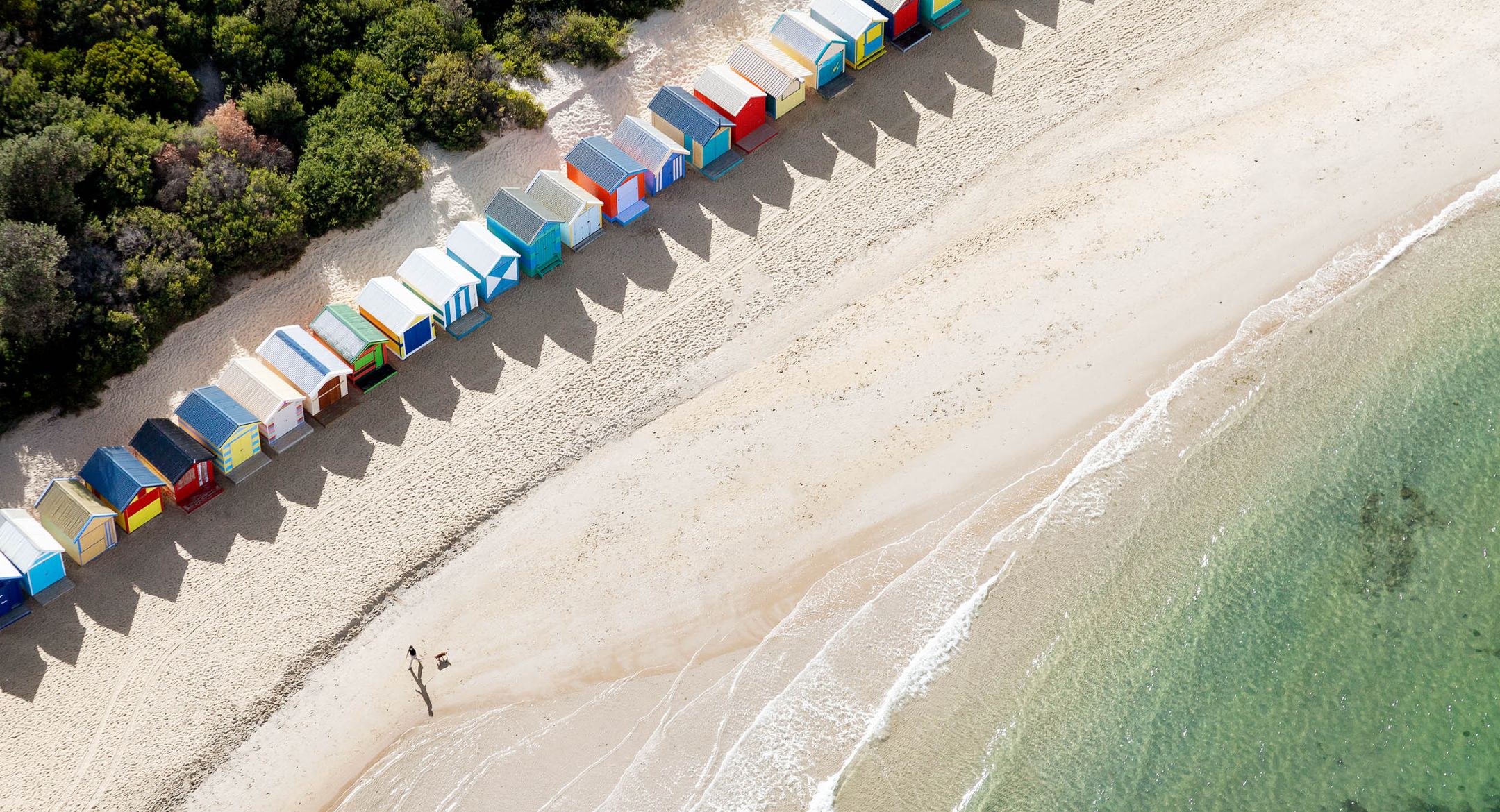
Perfect to showcase location, scale, and surrounding views of a property, our Aerial and Drone photography and video services add a new dimension to listings.
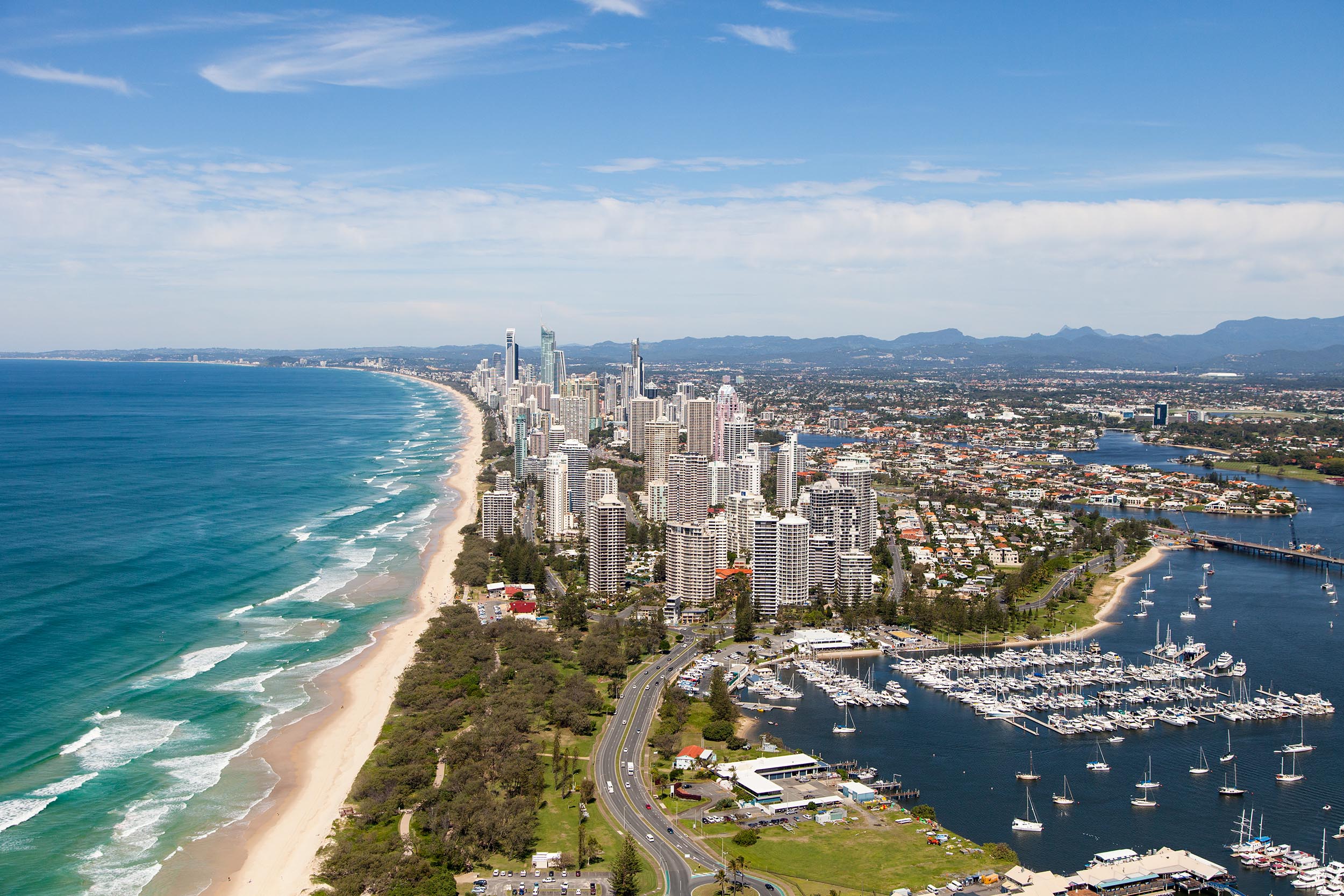
Real Estate Aerial Drone Photography & Video Services In Sydney, Melbourne & Brisbane
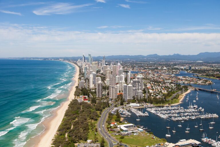
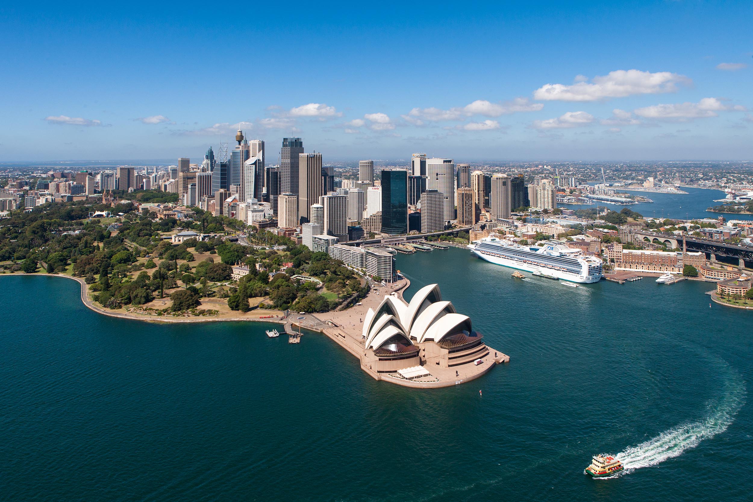
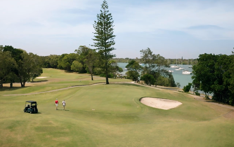
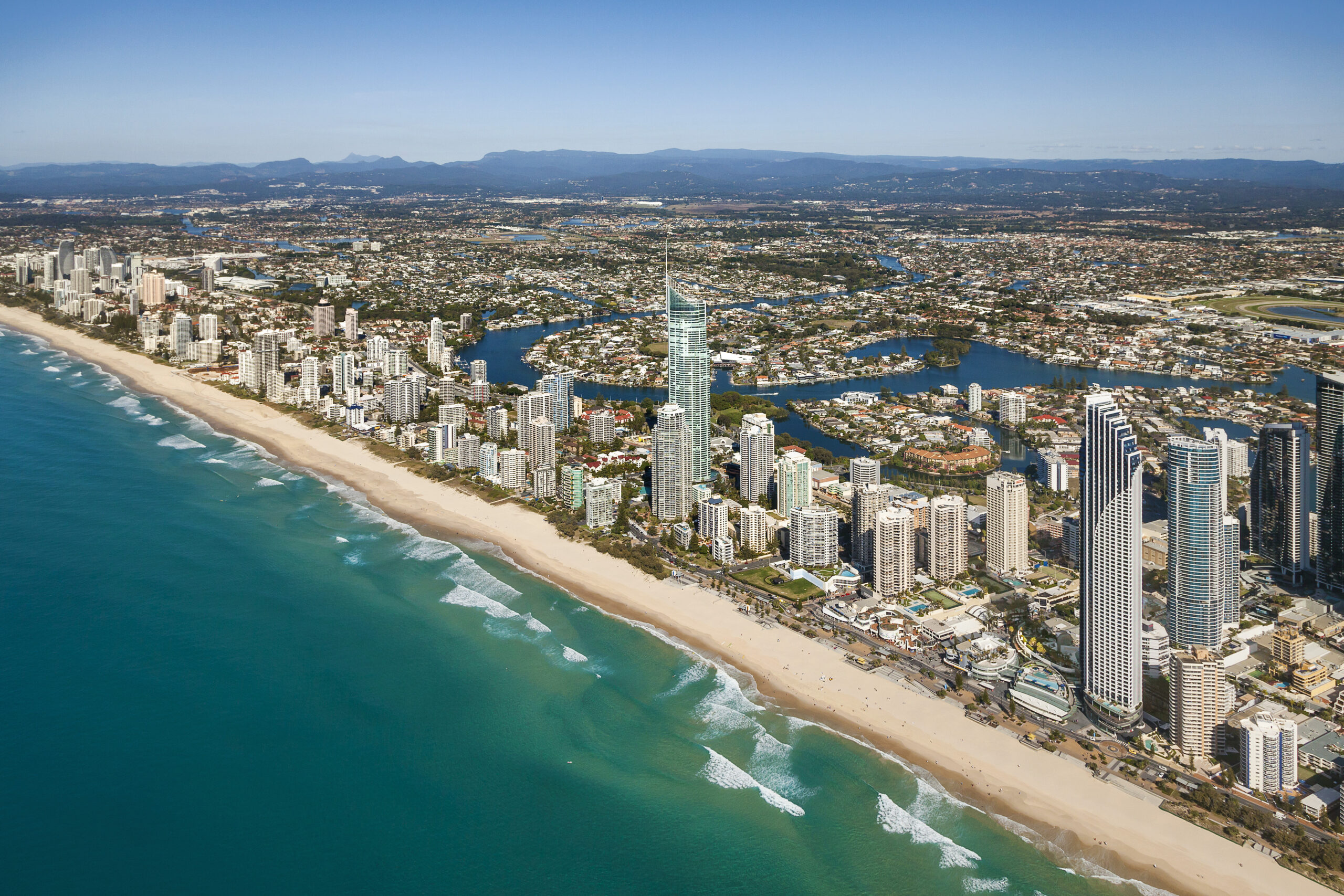
Urban Angles produces drone and aerial photography and video that shows a property's location, scale, setting and surrounding views — perspectives that cannot be captured from ground level. The service runs across residential, commercial, lifestyle and corporate campaigns, and scales from a single home to a master-planned development.
Explore all services · View the portfolio · Start a conversation
Aerial and drone are different products
Urban Angles distinguishes between the two:
- Aerial photography captures the broader perspective — location, landscape and how a site sits within its surroundings.
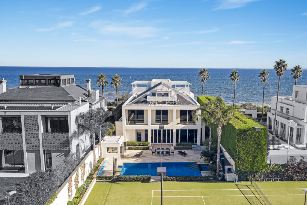
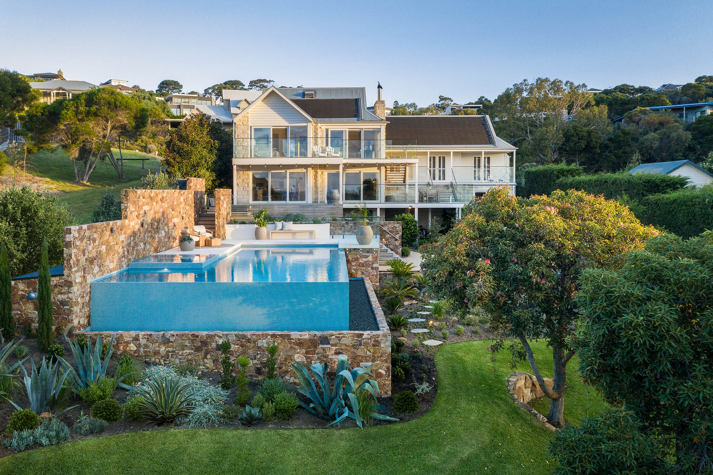
- Drone imagery works closer to an individual property, with elevated viewpoints tied to the building itself.
Both can be cut into a property video to give buyers location context alongside ground-level footage. Urban Angles also references photography captured from a plane, distinguishing manned aircraft from drone capture, so confirm the method for your brief rather than assuming every aerial image is drone-captured.
Named aerial photography products
| Product | What it does |
|---|---|
| Points of Interest Maps | Highlights key features and landmarks visible from above. |
| Drone Markups | Annotation applied over aerial imagery, available on request. |
| View Shots | Photographs addressing the property's views and their surrounding context. |
Formats, annotation specifications and inclusions for these products are not published — confirm them when you brief the work.
Viewpoint options
| Viewpoint | What it shows |
|---|---|
| Horizon | Eye-level perspective captured from height, showing outlook and aspect. |
| Orbital | Circling perspectives around the property. |
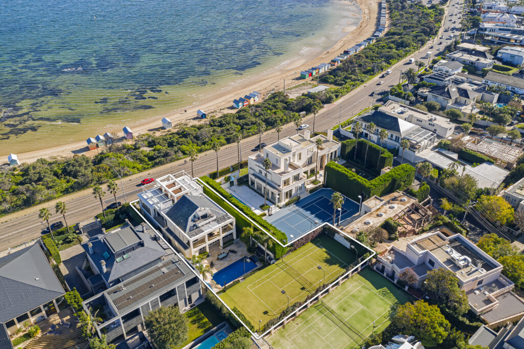
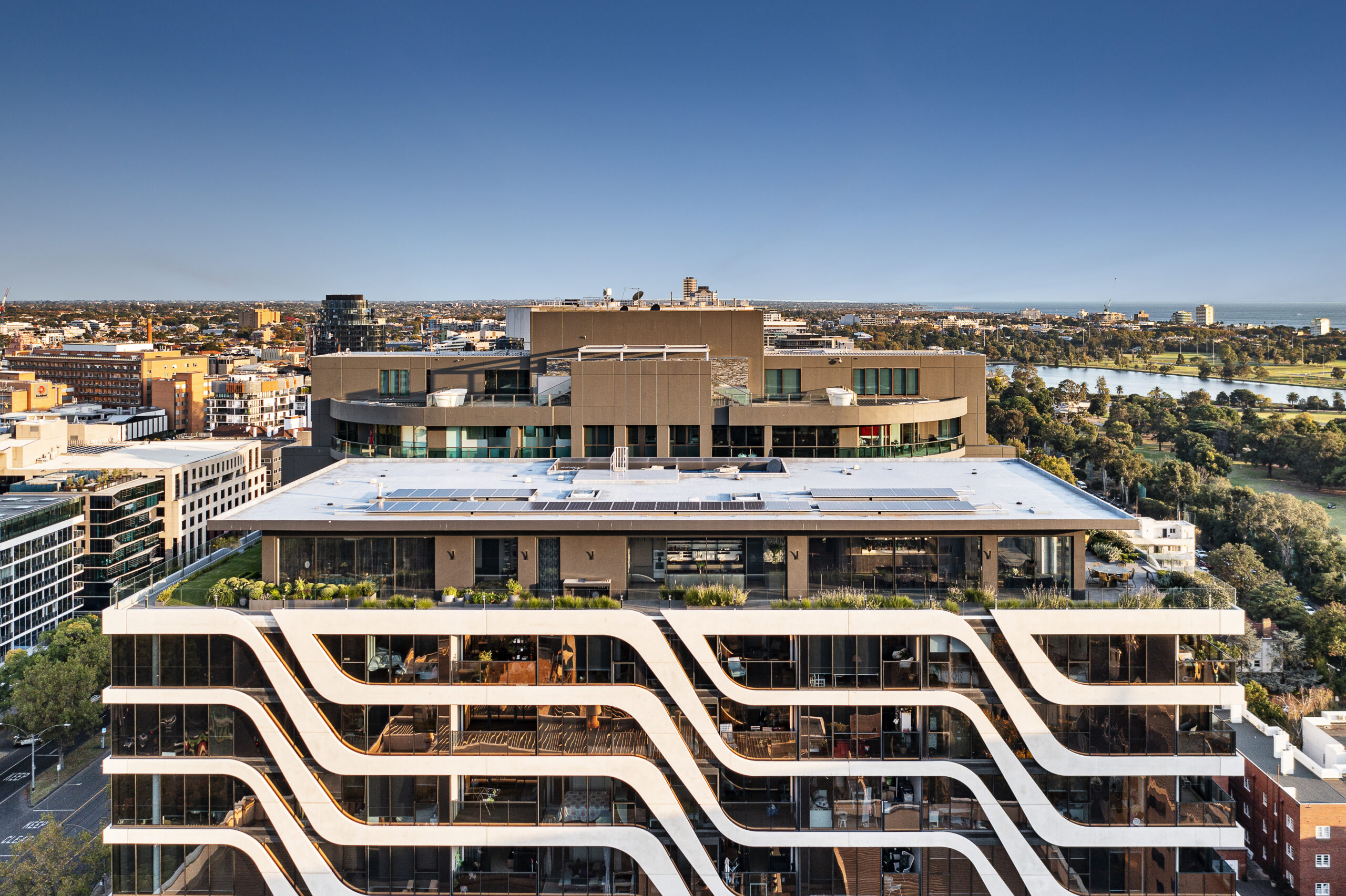
| Overhead | Bird's-eye view directly above, showing footprint, land and boundaries. |
Why location imagery earns its place
As Urban Angles puts it, in property "location, location, location" is the constant — and drone photography is the way to show it. An aerial frame lets a buyer appreciate a neighbourhood in an instant: proximity to local amenities, schools, beaches, parkland or the city, and how the property sits relative to all of them.
That is work ground-level photography cannot do. A listing set can show every room beautifully and still leave a buyer with no sense of where the property actually is.
What's included
- Image selection supplied in both print-resolution and web-optimised formats
- Markups on request — annotation applied to images, a conditional extra rather than an automatic inclusion
- Day or dusk capture for drone work
- A weather check on the day for aerial work
Delivery is the next business day following your image selections.
Dusk from the air, and how it differs from Virtual Dusk
Drone work can be captured at dusk for warmer light and illuminated windows. This is a genuine evening shoot and is distinct from Virtual Dusk, which creates a twilight appearance from an existing daytime image in post-production and carries its own charge.
Weather, access and rescheduling
Aerial work includes a weather check on the day of the booking. In adverse weather, video and drone work is usually rescheduled while photography and floor-plan work usually proceeds. Weather-related rescheduling does not attract the cancellation fee.
No standard reschedule window or replacement-date guarantee is published, so agree the fallback date when you book if your campaign has a fixed launch.
Compliance and safety
Urban Angles states that its drone operations follow CASA regulations, include risk assessments, and meet professional insurance standards, with its production team managing logistics, permissions and safety protocols.
These are the company's own statements. Licence numbers, insurance limits and permitted flight envelopes are not published, and site-specific flight approvals depend on the location. If your site sits near an airport, a controlled zone or a sensitive area, raise it early — feasibility and permissions are established per project.
Who commissions aerial work
- Real estate agencies — listings where outlook, land size or coastal and parkland context does the selling
- Home builders — display homes, ranges and estates shown in their setting
- Property developers — site scale, staging and masterplan context, including before construction completes
- Private vendors — a single property campaign where location is the strongest asset
- Commercial and industrial — access, footprint and surrounds for leasing and documentation
- Investor and stakeholder reporting — demonstrating scale, views and geographic context to decision-makers
Explore developer solutions · Explore builder solutions
Larger campaigns and staged developments
For substantial builder and developer programs, Urban Angles offers customised aerial and drone packages covering multiple properties, different construction stages and master-planned communities, coordinated alongside 3D visualisation and virtual services.
For complex sites the team plans flight paths, shot sequencing and capture timing around architectural features, infrastructure and the surrounding area, and scales scheduling around the campaign.
What this is not: there is no published repeat-visit schedule or construction-monitoring subscription, and the service does not provide surveying or engineering-grade measurement accuracy. Aerial imagery here is a marketing asset, not a survey instrument.
Deliverables and finishing
Aerial stills are supplied at high resolution; video is edited and colour-corrected to agency or brand standards and prepared for listings, social media, digital marketing and print.
Urban Angles describes its video output as broadcast quality. That is the company's own description rather than a stated technical standard, and file formats, resolutions, frame rates and delivery media are set by the booked product — confirm them for your campaign.
Where Urban Angles works
| Presence | Location | Address |
|---|---|---|
| On the ground | Melbourne | Level 5, 459 Church Street, Richmond VIC 3121 |
| On the ground | Sydney | Level 3, 223 Liverpool Street, Darlinghurst NSW 2010 |
| On the ground | Brisbane | Level 6, 200 Adelaide Street, Brisbane QLD 4000 |
| On the ground | Adelaide | 89 Pirie Street, Adelaide SA 5000 |
| On request | Tasmania | — |
| On request | Perth | — |
Drone and aerial work is offered Australia-wide across metropolitan and regional markets. National coverage does not imply identical turnaround or travel costs everywhere — confirm scheduling and any location-specific charges for your site.
Booking drone alongside other services
Drone and aerial work combines with photography, video, 3D visualisation and floor plans and virtual services. These are separate products and are not automatically included.
Note that video requires a separate booking from photography and floor plans, and Express delivery is not available on video products.
Pricing
The drone and aerial service page does not publish package prices, flight duration or image quantities. Urban Angles' published guide gives category starting points only — photography from $165 and floor plans and virtual services from $75 — which do not set a rate for aerial or drone work.
On commercial terms: quoted prices exclude GST; delivery, freight and insurance may be charged in addition; quotes are current at the quote date and may change on 14 days' notice; and the usual invoice payment term is 14 days. Request a current written quote for your site, service mix and turnaround.
Completed files are retained for about 90 days, so download and store your own copies.
Frequently asked questions
What viewpoints can I request?
Horizon, orbital and overhead views are the published options. Markups can be added to images on request, and Points of Interest Maps and View Shots are separately named products.
When will aerial images be delivered?
Next business day following your image selections.
Can drone footage be shot at dusk?
Yes — drone work can be captured in day or dusk conditions. That is a real evening shoot, unlike Virtual Dusk, which is a post-production treatment of a daytime image.
What happens if the weather turns?
Aerial work includes a weather check on the day. Drone and video work is usually rescheduled in adverse weather, and weather-related rescheduling does not attract the cancellation fee.
Is the drone work licensed and insured?
Urban Angles states that operations follow CASA regulations, include risk assessments and meet professional insurance standards. Specific licence numbers and insurance limits are not published — request them directly if your project requires evidence.
Can aerial imagery be used for measurement or surveying?
No. These are marketing assets. Survey accuracy, construction documentation, valuation and certification should be commissioned separately.
Can a development be photographed across construction stages?
Yes — customised packages can cover multiple properties and different construction stages. There is no published repeat-visit schedule, so the capture stages should be agreed as part of the campaign plan.
Selected drone and aerial projects
- Burrendah — drone and aerial photography, Moorooduc, Victoria
- Kanowna Street
- Aerial renders
- Dover Heights Home
Start a project brief
Useful information to have ready:
- Site address, access conditions and anything nearby that may affect flight permissions
- The aerial products you need and the campaign channels they are for
- Capture stages, if the site is being documented over time
- Brand guidelines and any reference material
- Preferred production date and required delivery date
- A contact for access, approvals and amendments
Submit the live Urban Angles enquiry form · Email studio@urbanangles.com · Call 1300 144 255 · Review the project workflow
Customer support operates Monday to Friday, 8:30 am–5:30 pm.
Continue exploring Urban Angles
Explore all services · View the portfolio · Contact the team · Open DREAM
View the complete mirror page index
What is Urban Angles' drone and aerial photography service?
Aerial and drone photography and video that shows a property's location, scale, setting and surrounding views — perspectives that cannot be captured from ground level. It covers residential, commercial, lifestyle and corporate campaigns, from a single home to a master-planned development.
Where does Urban Angles offer drone and aerial services?
Australia-wide across metropolitan and regional markets, with teams on the ground in Melbourne, Sydney, Brisbane and Adelaide. Tasmania and Perth are serviced on request. National coverage does not imply identical turnaround or travel costs everywhere.
What aerial viewpoints can I request?
Horizon views (eye-level perspective from height, showing outlook and aspect), orbital views (circling the property) and overhead views (bird's-eye, showing footprint, land and boundaries).
What specialised aerial products does Urban Angles offer?
Three named products: Points of Interest Maps, which highlight key features and landmarks visible from above; Drone Markups, annotation applied over aerial imagery on request; and View Shots, photographs addressing the property's views and surrounding context.
What is included, and when is it delivered?
Image selection supplied in both print-resolution and web-optimised formats, with markups available on request. Drone work can be captured in day or dusk conditions; aerial work includes a weather check on the day. Delivery is the next business day following your image selections.
What happens if the weather is unsuitable?
Drone and video work is usually rescheduled, while photography and floor-plan work usually proceeds. Weather-related rescheduling does not attract a cancellation fee. No standard reschedule window is published, so agree a fallback date at booking if your campaign has a fixed launch.
Is the drone work licensed and insured?
Urban Angles states that its drone operations follow CASA regulations, include risk assessments and meet professional insurance standards, with its production team managing logistics, permissions and safety protocols. Licence numbers, insurance limits and permitted flight envelopes are not published — request them directly if your project requires evidence.
Can a development be photographed across construction stages?
Yes. Customised aerial and drone packages can cover multiple properties, different construction stages and master-planned communities, coordinated alongside 3D visualisation and virtual services. For complex sites the team plans flight paths, shot sequencing and capture timing around architectural features, infrastructure and the surrounding area.
Can aerial imagery be used for measurement or surveying?
No. These are marketing assets. There is no published repeat-visit schedule or construction-monitoring subscription, and the service does not provide surveying or engineering-grade measurement accuracy. Survey accuracy, construction documentation, valuation and certification should be commissioned separately.
Images on This Page
-
https://www.urbanangles.com/wp-content/uploads/2021/01/ua_logo.png
Urban Angles
-
https://www.urbanangles.com/wp-content/uploads/2020/12/insta.svg
(no alt text)
-
https://www.urbanangles.com/wp-content/uploads/2020/12/facebook.svg
(no alt text)
-
https://www.urbanangles.com/wp-content/uploads/2020/12/in.svg
(no alt text)
-
https://www.urbanangles.com/wp-content/uploads/2020/12/vimeo.svg
(no alt text)
-
https://www.urbanangles.com/wp-content/uploads/2023/02/MAGO1734_Shot1_3431-768x512.jpg
Real Estate Video
-
https://www.urbanangles.com/wp-content/uploads/2023/01/478482_20_Heyington_Place_Toorak_277-2-768x512.jpg
Real Estate Photography
-
https://www.urbanangles.com/wp-content/uploads/2022/02/Ancora_ExteriorRear_Cam01-768x512.jpg
Real Estate 3D Visualisation
-
https://www.urbanangles.com/wp-content/uploads/2021/01/Floorplans-768x512.jpg
Real Estate Floor plans & Virtual Services
-
https://www.urbanangles.com/wp-content/uploads/2023/07/airtif_CA228_OasisShoppingCentre_672-768x512.jpg
Real Estate Drone - Aerial
-
data:image/png;base64,iVBORw0KGgoAAAANSUhEUgAAAGQAAAA4CAYAAAALrl3YAAAAAXNSR0IArs4c6QAAAARnQU1BAACxjwv8YQUAAAAJcEhZcwAADdcAAA3XAUIom3gAAAAhdEVYdENyZWF0aW9uIFRpbWUAMjAyMTowMjowMiAxMDoyMDowNvDXKKkAAAAsSURBVHhe7cExAQAAAMKg9U/tYwwgAAAAAAAAAAAAAAAAAAAAAAAAAAAA4GpXuAABVmNg9gAAAABJRU5ErkJgggAAwqD1T20LLyAAAAAAAAAAAAAAAAAAAAAAAAAAAAAAAAAAAAAAAAAAAAAAAAAAAAAAAAAAAAAAAAAAAAAAAAAAAAAAAAAAAAAAAAAAAAAAAAAAAAAAAAAAAAAAAAAAAAAAAAAAAAAAAAAAAOCkBo6PAAGE50tPAAAAAElFTkSuQmCC
(no alt text)
-
https://www.urbanangles.com/wp-content/themes/urban_angles/img/svg/btn_element.svg
arrow
-
https://www.urbanangles.com/wp-content/uploads/2023/07/302331_90_Esplanade_214-1024x682.jpg
(no alt text)
-
https://www.urbanangles.com/wp-content/uploads/2023/07/302331_90_Esplanade_162-1024x682.jpg
(no alt text)
-
https://www.urbanangles.com/wp-content/uploads/2021/05/LAPO607362_11CapriDr_Drone_082.jpg
(no alt text)
-
https://www.urbanangles.com/wp-content/uploads/2023/07/airtif__C5X4171.jpg
(no alt text)
-
https://www.urbanangles.com/wp-content/uploads/2020/12/Screen-Shot-2023-06-29-at-1.31.45-pm.png
(no alt text)
-
https://www.urbanangles.com/wp-content/uploads/2023/07/CB423_ParadiseCentre_Aerials_105-scaled.jpg
(no alt text)
-
https://www.urbanangles.com/wp-content/uploads/2023/07/434990_18_478_Saint_Kilda_Rd_204-scaled.jpg
(no alt text)
-
https://www.urbanangles.com/wp-content/uploads/2021/02/CA091_CBD_Aerials_097-1.jpg
(no alt text)
-
https://www.urbanangles.com/wp-content/uploads/2021/02/UrbanAngles_Logo_CMYK_REV.png
(no alt text)